

Project Gallery
Explore our advanced equipment, successful projects, and comprehensive utility mapping capabilities. See the professional quality and precision that sets TracePoint Tech apart


Precision Detection
Non-destructive utility locating saves time and prevents costly damage to existing infrastructure.
Advanced Equipment
State-of-the-art acoustic and electromagnetic detection technology for accurate results.
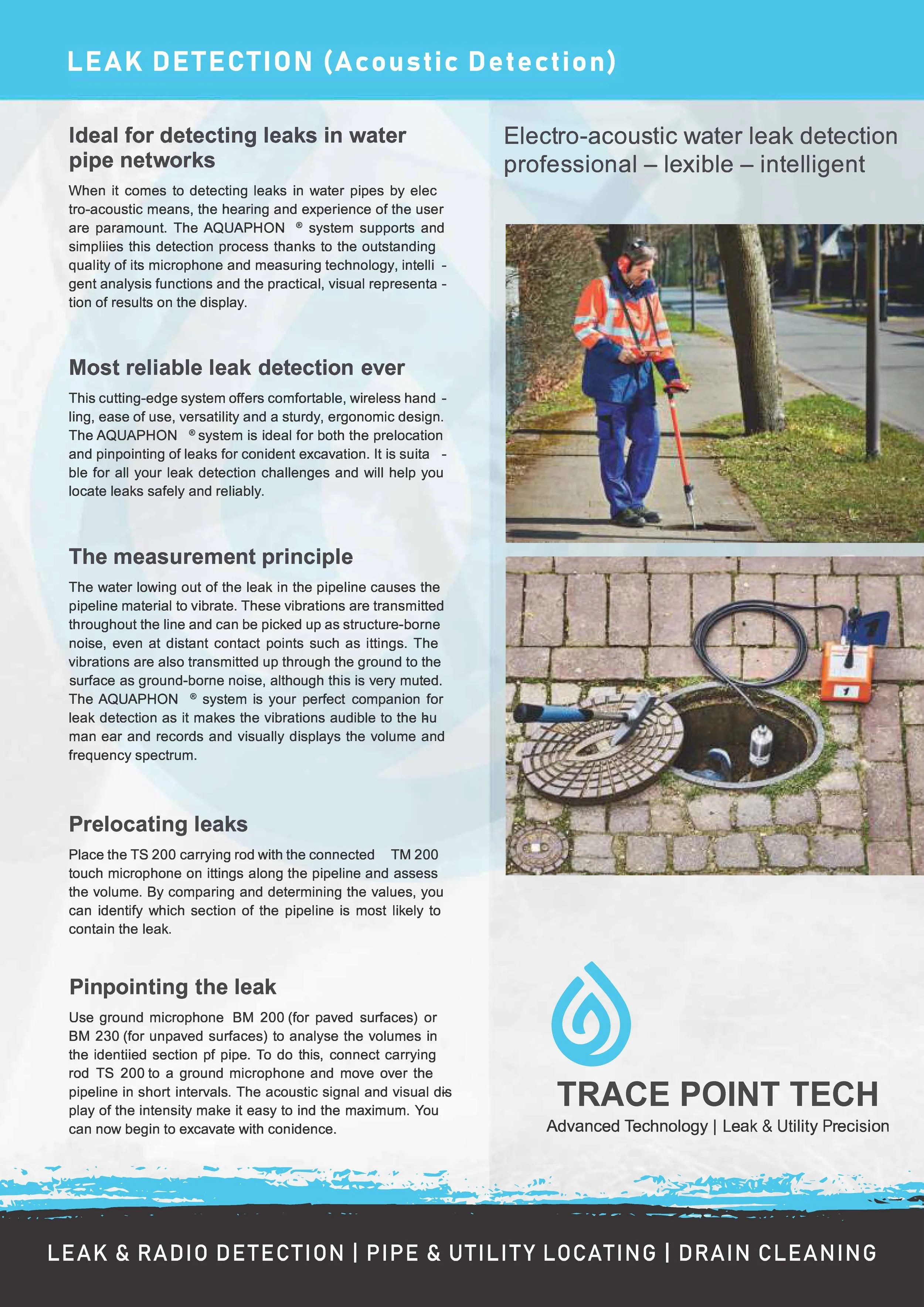


Commercial Leak Detection
Indoor commercial facility leak detection and repair work.

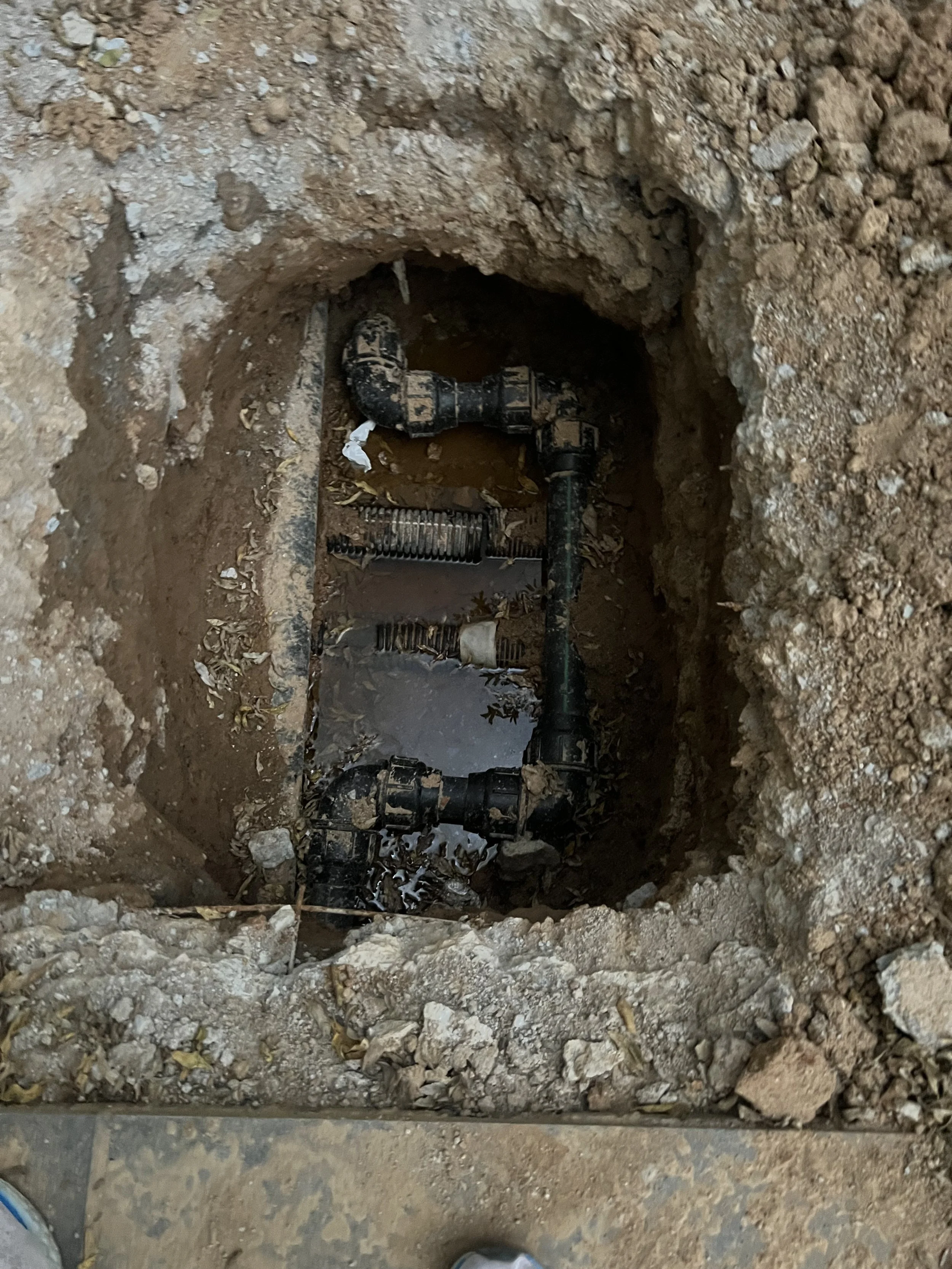
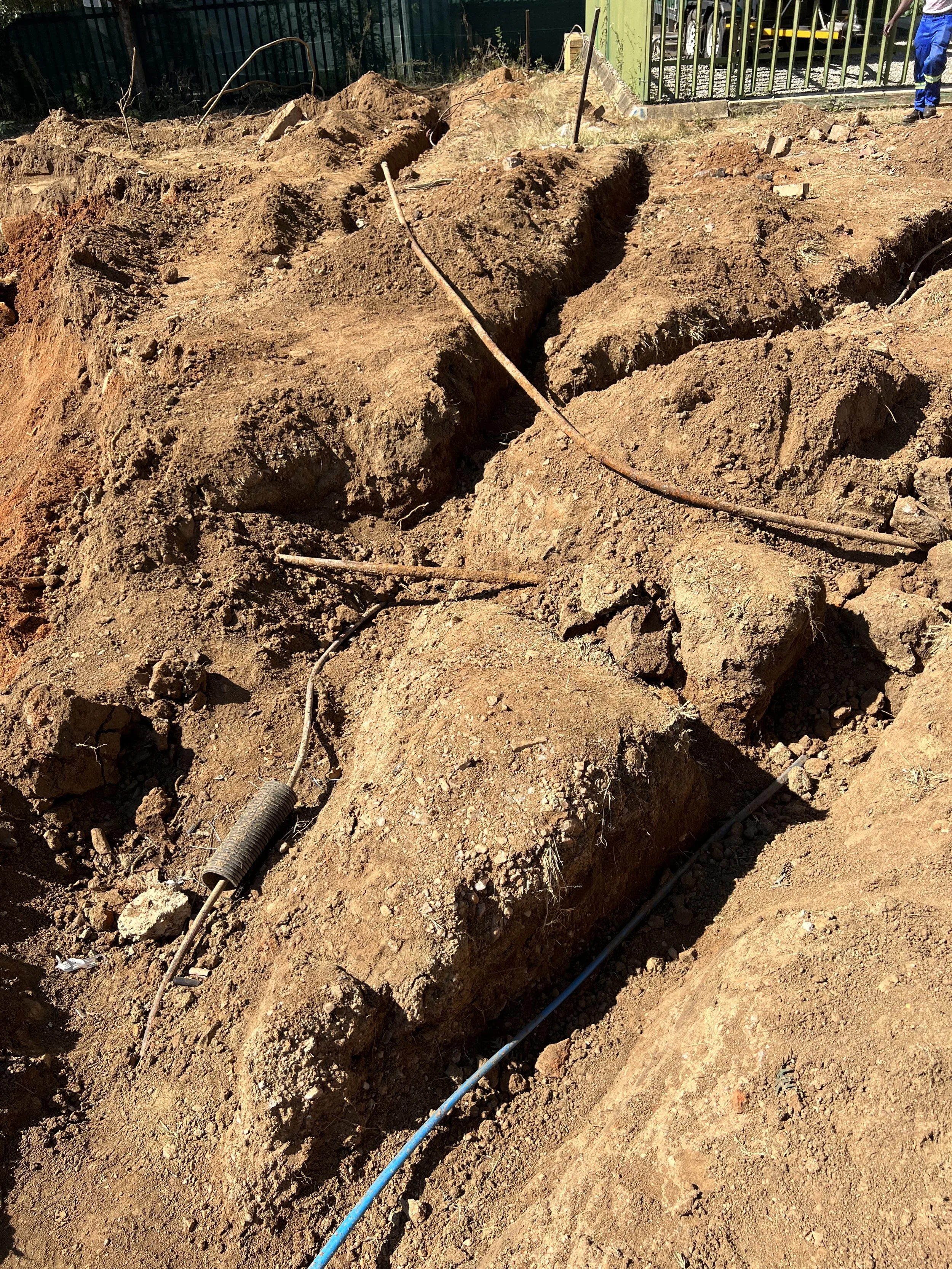
Underground Utility Access
Deep excavation exposing complex underground utility systems.
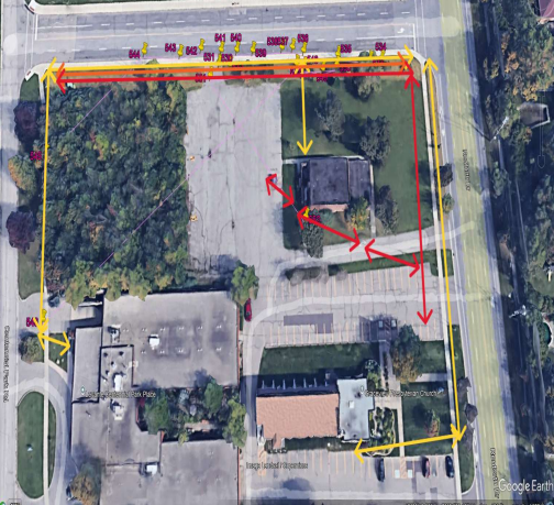
Arial Utility Mapping
Comprehensive overhead view of utility line locations and routing.
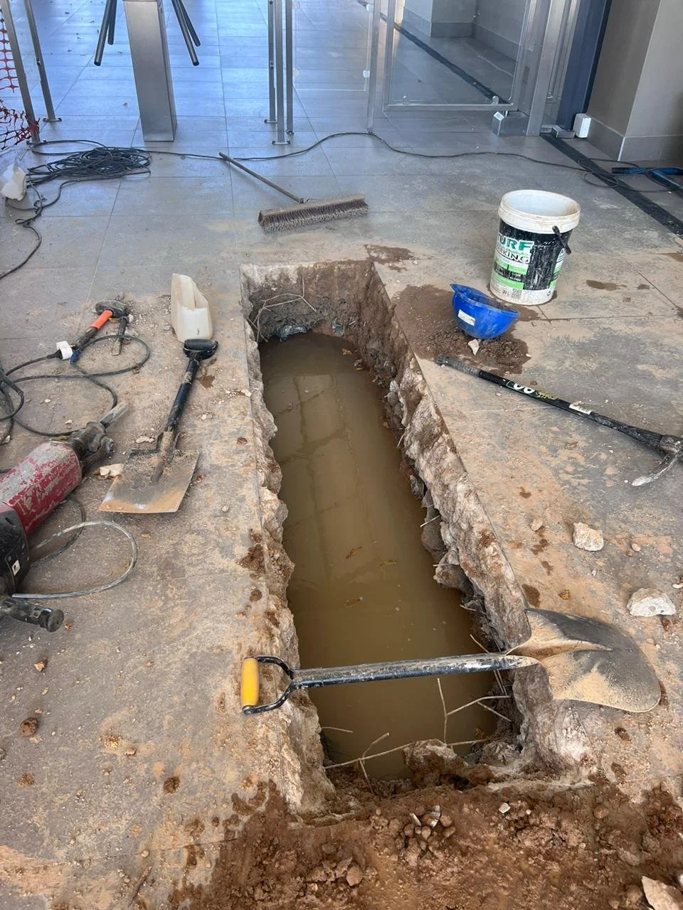
Commercial Leak Detection
Indoor commercial facility leak detection and repair work.
Utility Line Investigation
Precision excavation for utility line inspection and mapping.

Residential Utility Survey
Detailed mapping of residential area utility infrastructure.